hdl:10013/epic.45340
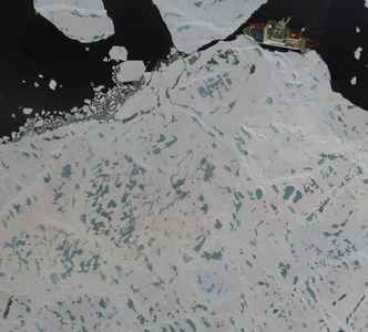
Mosaic of aerial images taken of the survey area during a low-altitude helicopter flight
Contact
epicdocumentation [ at ] awi.de
Abstract
Item Type
PANGAEA Documentation
Authors
Divisions
Programs
Publication Status
Published
Eprint ID
37745
Cite as
Katlein, C.
(2015):
Mosaic of aerial images taken of the survey area during a low-altitude helicopter flight
,
Bremerhaven,
PANGAEA
.
Download
Cite this document as:
Share
Geographical region
Research Platforms
Campaigns
N/A
Actions

![[thumbnail of skyview_cropped.jpg]](https://epic.awi.de/37745/1.hassmallThumbnailVersion/skyview_cropped.jpg)


