EPIC.awi.de
Items where Author is "NIMA"
![[up]](/style/images/multi_up.png) Up a level
Up a levelGroup by: Item Type | No Grouping
Number of items: 2.
PANGAEA Documentation
NIMA and USGS
(2008)
Vector Map Level 1 converted to PanMap layer format ,
Maryland,
National Imagery and Mapping Agency
.
hdl:10013/epic.38694
![[thumbnail of ANTARKTI.zip]](https://epic.awi.de/style/images/fileicons/application_zip.png)
PANGAEA Documentation
NIMA and DCW
(2000)
Antarctic coastline ,
USA,
National Imagery and Mapping Agency, Digital Chart of the World
.
hdl:10013/epic.38707
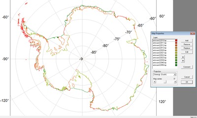
![[thumbnail of antcoast.png]](https://epic.awi.de/30071/2/antcoast.png)